Why Treqz shows sources for every trek fact
Why every trek fact on Treqz links to its source, how to check one, how sources go wrong or out of date, how to report an error, and why Treqz sells nothing.
5 min read →Trek permits in India: what Indians and foreigners need
What permits a trek in India needs: forest and park entry fees, state rules, Inner Line and Protected Area permits. Rules change, so confirm.
5 min read →
How to organise a group trek in India: a step-by-step plan
Plan a group trek in India: pick a trek for mixed fitness, choose an operator or go independent, then sort permits, roles, budget, safety and communication.
5 min read →
How to get fit for a Himalayan trek: an 8-week plan
An 8-week plan to get fit for a Himalayan trek in India: walking, stairs, strength and weekend hills, built on WHO and NHS activity guidelines.
5 min read →How much does a trek in India cost? Prices for 6 popular treks
What popular Himalayan treks cost in India in 2026-27, from operators' own pages: what the fee includes, GST, transport, rentals, offloading and insurance.
5 min read →
How Treqz works with no phone signal: what saves offline
What the Treqz 3D trek atlas can save for use with no signal, what is downloaded, what still needs a network, and how to prepare on the night before a trek.
5 min read →Himalayan trek packing list: winter and summer
A packing list for a Himalayan trek in India: winter and summer lists, how to layer, what to rent or buy, and what to leave at home, with rental prices.
5 min read →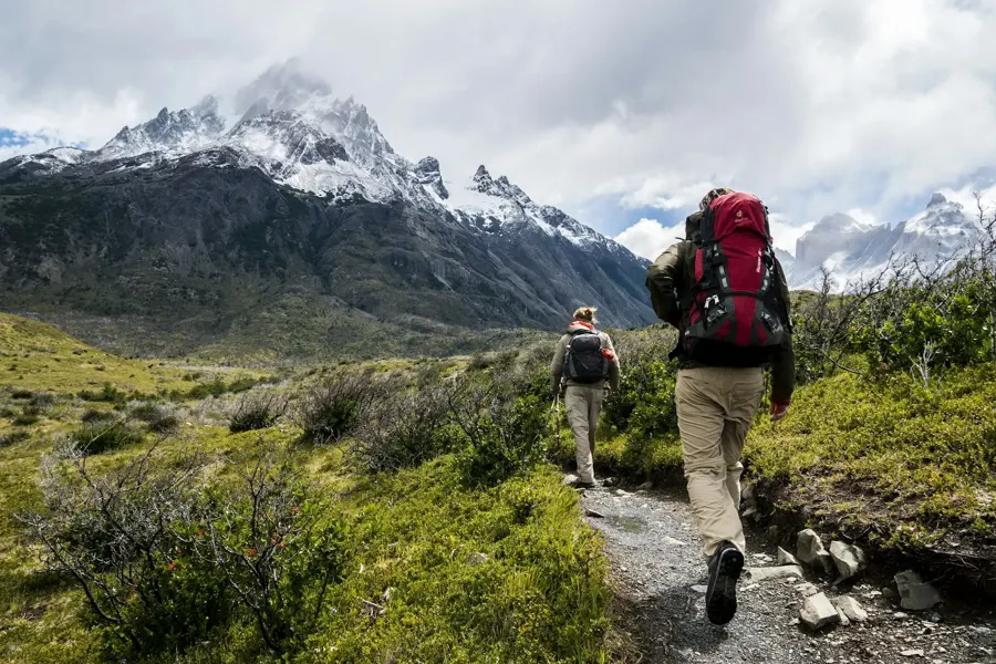
Choosing trekking shoes and poles: fit, grip and technique
How to choose trekking shoes and poles for Indian treks: fit, ankle support, grip, waterproofing, pole length and technique, and when to rent instead of buy.
5 min read →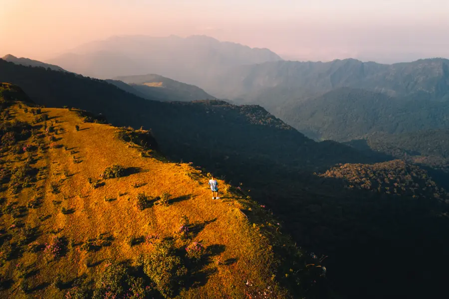
Why see a trek in 3D before you go
Photos show a trek's best view, not its hardest climb. Here's what a 3D map of the route tells you before you go, from where each camp sits to how steep summit day really is.
3 min read →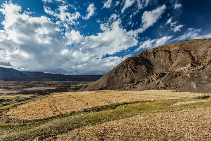
How a 3D trek map is made: from satellite data to your screen
The open data behind Treqz's 3D treks: elevation from the SRTM radar mission, satellite imagery, OpenStreetMap trails and campsite altitudes, plus what that data can and can't show.
3 min read →